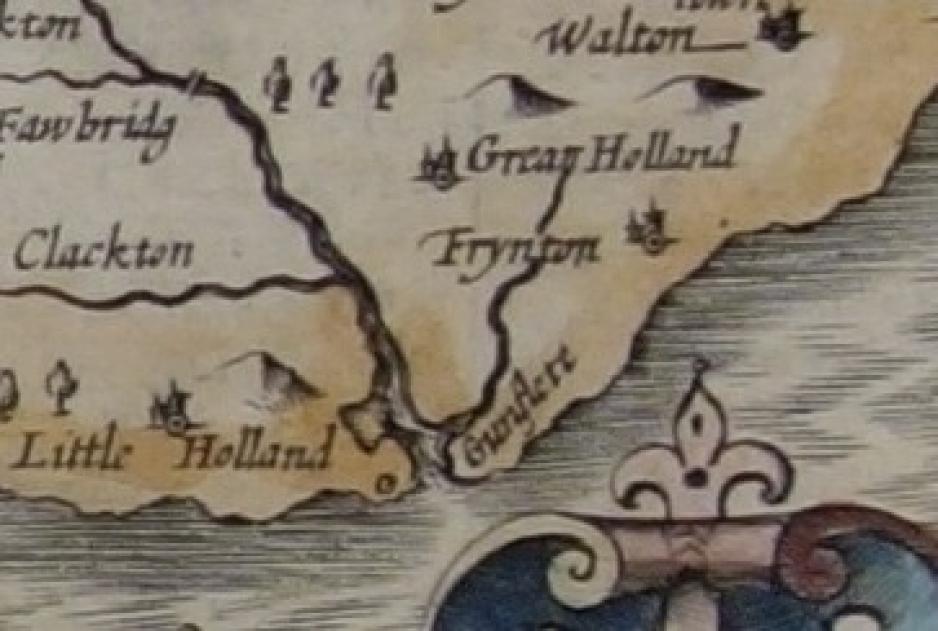
A Drowned Land
Discovering the history and geography of Holland Haven and the Gunfleet Estuary for KS1 to KS3
This collection forms a learning resource based on historical sources for the Holland Haven area in Tendring, Essex. It can be used as a resource for Key Stage 1 to Key Stage 3 History and Geography and in particular to:
- Understand historical concepts such as continuity and change, cause and consequence and use them to make connections
- Understand the methods of historical enquiry, and how our view of the past is constructed from a range of sources
- Understand the connections between local, regional and national history
- Develop contextual knowledge of a location and the defining physical and human characteristics
- Understand processes and the way they bring about change over time
The collection is grouped into three themes each with supporting documents that enable you to investigate directly from the historical sources. You can use all of these, or make your own selection to suit your requirements and there are additional assets available on other pages of the VCH Explore site (link to home?)
The themes are:
An introduction to Holland Haven: An introductory theme giving an overview of the local history and geography that can also be used as a starting point for the in-depth studies of the next two themes.
Feeding the capital: A closer look at land uses and local industries.
Reclaiming the estuary: A focus on maps to examine geographical processes, changes in the landscape and impact on the area.

Collection Items
Today, Holland Haven is the place where the Holland River (now the Holland Brook) once ran out into the North Sea between Clacton and Frinton in Es
The Gunfleet estuary was formerly known as the Gunfleet Haven, the word haven meaning a port or harbour for boats. This name is used in customs do
The creeks and marshes along the Essex coast contain large areas of salt marsh. These were used as land to graze sheep in summer, but were often f


