Rivers and Watercourses
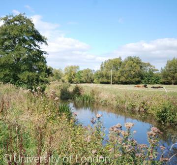 The River Brue at West Lydford, Somerset
The landscape was carved by glaciers and rivers long before humans first settled in the British Isles. People have exploited the many natural resources such as land, stone and wood but especially water. The long valleys worn through the landscape by many rivers provided routes as well as rich farmland. The Wylye valley in Wiltshire or the Exe valley in Somerset and Devon are examples of rivers and roads running together. Agriculture in many areas depended on river irrigation such as the water meadows of southern England found at places like Codford in Wiltshire.
Rivers supplied not only water to drink or for irrigation and washing but also fish, reeds, transport and power. Without water much industrial development would have been impossible and the transport of heavy loads far more difficult. Water powered medieval corn and fulling mills, early modern forge hammers and blade mills, the woollen and cotton mills of the industrial revolution and modern industries like papermaking at Stodland in Kent, brewing at Burton, and food processing. Water also powered the locks and lifts of the canal system and all forms of steam engine from the draining and lifting engines found in mines like Wearmouth colliery to the locomotives on the Devon and Somerset Railway. In more recent times rivers have been dammed for reservoirs to supply towns and cities and for recreation.
Although water is essential to life it can also destroy it. Great floods have regularly swept away people, animals and buildings and few have caused as much distress as the 1952 Lynmouth disaster. Water also carries disease and the use of waterways as sewers for human and industrial refuse as well as the digging of wells and cesspits in close proximity has led to epidemics such as the Sunderland cholera outbreak in 1831—2.


