Copyright:
Essex County Council / Crown Copyright Licence LA100019602
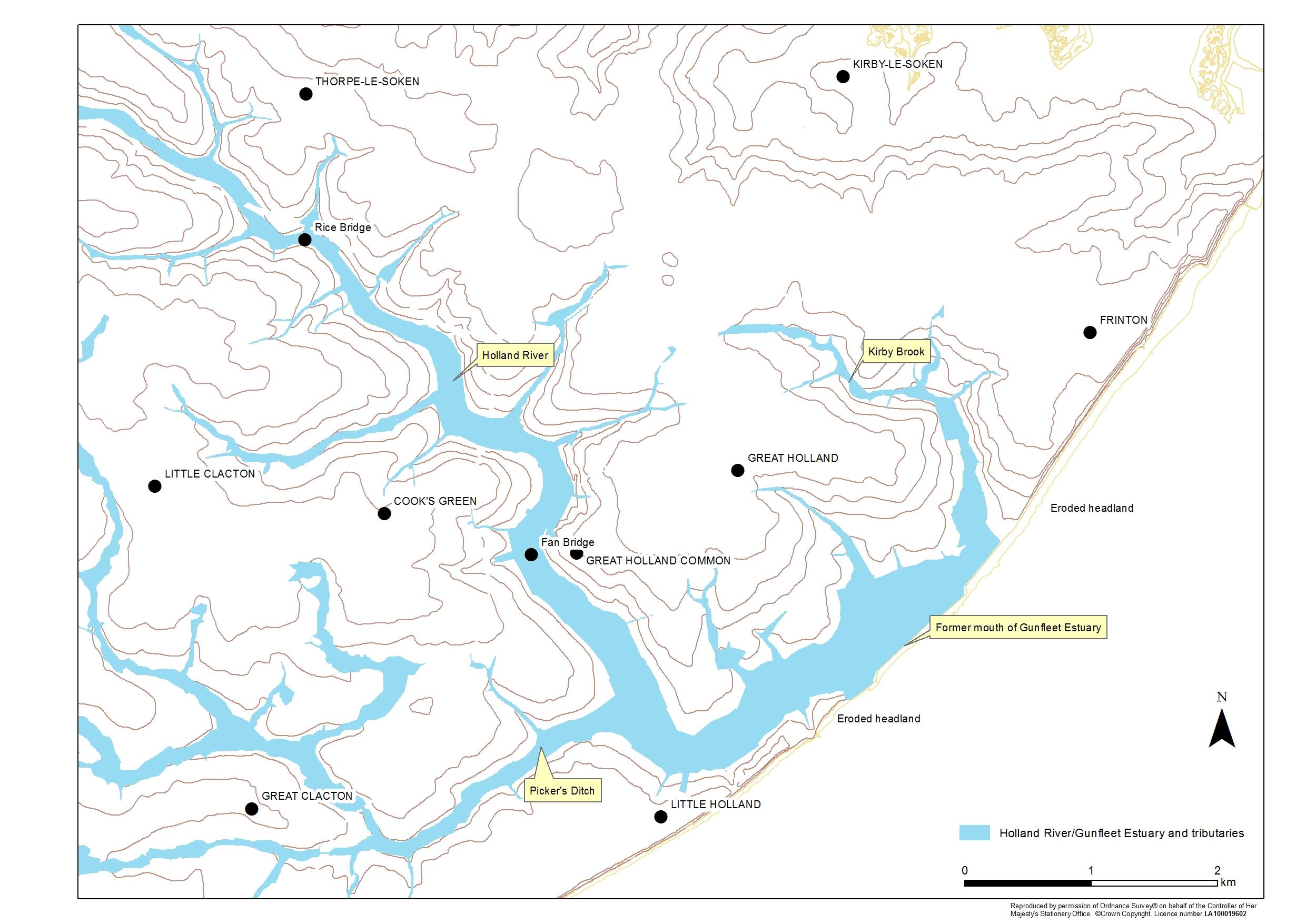
Image Caption:
Areas liable to flood and paying Tendring Level rates c, 1920s, superimposed upon a modern Ordnance Survey map.
Asset Author:
Tendring Level Commission / Ordnance Survey / ECC / Clacton VCH Group