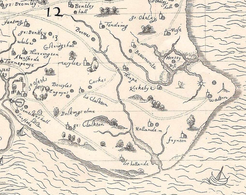
Norden Map of 1594
Period:
Elizabethan (1558-1603)Copyright:
University of London/Camden SocietyImage Caption:
The Gunfleet estuary on a map by John Norden (1594), showing its depth inland and the probable headlands at its mouth. First published by the Camden Society (1840).