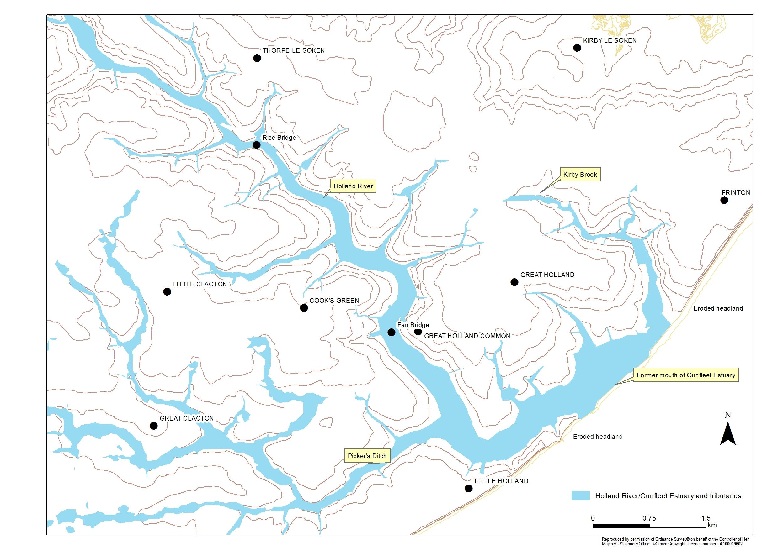
Land prone to flooding along Holland Brook and former Gunfleet estuary
Period:
Medieval (AD410-1485), Early Modern (1485-1750), Hanoverian (1714-1837), Victorian (1837-1901), 20th Century (1901-1999), 21st Century (2000- )Copyright:
Clacton VCH Group / University of LondonImage Caption:
Map of land prone to flooding along the Holland Brook and former Gunfleet Estuary/Holland Haven. Based on information held by Essex County Council Historic Environment Record.