Copyright:
University of London/Camden Society
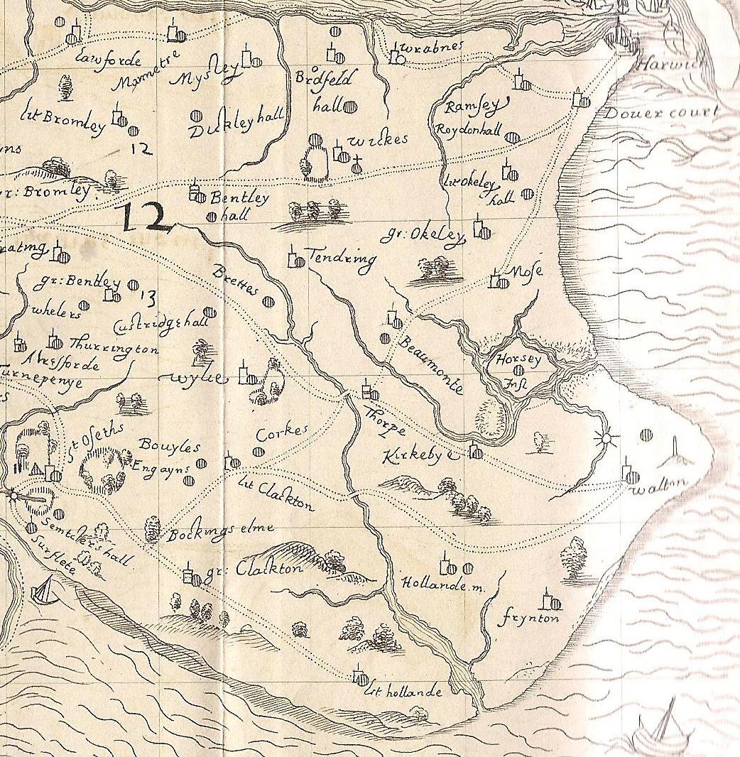
Image Caption:
Norden's map of 1594 showing the Holland Brook running from near Bentley Hall down to the Gunfleet estuary. Rice bridge and Fan bridge are also visible.
Asset Author:
John Norden Camden Society / Clacton VCH Group