The Open Fields
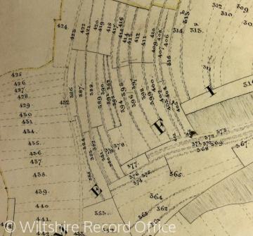
Arable farming on the Wiltshire chalklands, such as Codford, continued until the 19th century to be organised on the basis of enormous open fields, without hedges or fences, which were divided into blocks of strips (or acres), known as furlongs. A Historian must rely on old maps and names in order to reconstruct how the land was farmed. To understand the organisation, extend, and location of a farming community’s common fields, and how this of a farming community’s common fields, and how this affected the development of settlements and farms, a local historian must use maps, documents and surviving place and field names.
Content generated during research for the paperback book 'Codford: Wool and War in Wiltshire' (ISBN 13 : 978-1-86077-441-6 ) for the England's Past for Everyone series


