Skip to main content
VCH Explore
Explore England's Past
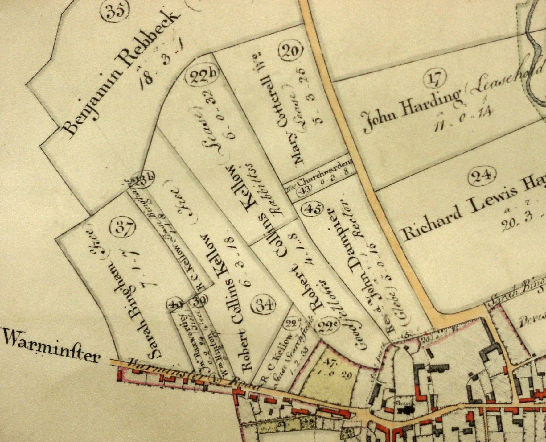
1810 Enclosure map of Codford St Peter
This map shows the open fields replaced by enclosed fields.
Period:
Hanoverian (1714-1837)
,
None / Uncertain
Copyright:
Wiltshire Record Office
Image Caption:
Enclosure map Codford 1810