Burford's Buildings
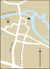
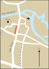
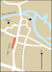
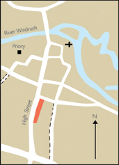
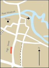
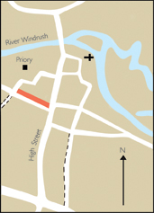
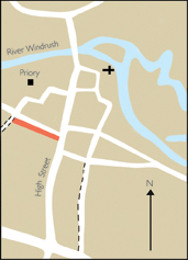
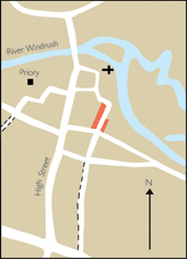
The vernacular buildings which characterize the Cotswold town of Burford are not generally of one date and are not architect-designed, but have evolved piecemeal over centuries. The only way to reconstruct their development is through detailed examination of building styles and datable architectural details, combined with documentary evidence where this exists. Between 2003 and 2006, every building was studied in detail from the street with the help of volunteers from the Oxfordshire Buildings Record, who produced copious notes, drawings, and photographs to an agreed agenda. Several houses have been more fully investigated from inside, culminating, in a few cases, in dendrochronological or tree-ring dating. Not all buildings have been fully investigated, however, and new discoveries undoubtedly wait to be made. The results of this building study were first published in 2008 as an appendix to ‘Burford: Buildings and People in a Cotswold Town’ and are presented here in a web navigable form. Where possible each building's evolution is related to the people who lived and worked there, to changing uses, and to shifts in fashion and economic circumstance, whether in Burford or beyond. The survey divides High Street into three parts, lower (near the bridge), central (near the crossroads) and upper (running up the hill), each of which has a distinct character. Within those sections it runs separately along both sides of High Street, following the modern numbering sequence from north to south. The survey concludes with similar treatments of Sheep Street and Witney Street, and with brief accounts of Guildenford and The Priory.
Lower High Street
|
East Side: The Bridge to
|
West Side: The Bridge to
|
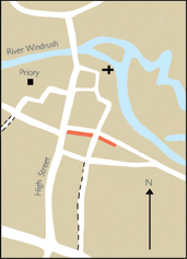
Central High Street
This central area of High Street, focused on the main crossroads and market area, was the commercial heart of the town, and contains some of Burford's most striking buildings. Many are of medieval origin, and include former inns and prominent merchants' houses as well as shops and other commercial premises. A variety of mostly 19th- and 20th-century shopfronts reflect more recent commercial activity. The following account divides this central area into four discrete blocks (two on each side), each punctuated by side streets.
|
East Side: Church Lane to
|
East side: Witney Street to
|
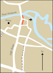
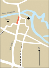
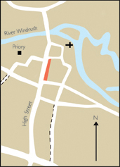
West side: Priory Lane to
|
West side: Sheep Street to
|

Upper High Street and the Hill
|
East Side: Uphill from
|
West Side: Uphill from
|
Sheep Street
Sheep Street was laid out early in Burford's medieval development, and in No. 25 (Calendars) includes a notable late medieval house. Another survives behind the façade of Nos. 33–35. Most of the street's buildings are later, however, and at the far end Nos. 39–53 represent 16th- and 17th-century development of what was then vacant pasture.
|
|
|
Witney Street
Formerly the main route into Burford from the east, Witney Street is now a quiet side-road lined for the most part with small 17th-century cottages, many of which have been much altered. Its south side, however, is dominated by one of the town’s largest domestic buildings: The Great House, built on the site of a former inn for the physician John Castle in the late 17th or early 18th century. No. 34 beyond was adapted from its former stables. Other notable buildings include No. 12 (Bull Cottage), externally heavily altered, but in origin one of Burford's oldest surviving houses. Industrial premises included Bond's bell foundry, based at No. 45 in the 1920s and 1930s, while beyond the area included here was a tannery and the site of Burford Mill. The street also includes two nonconformist chapels: the Baptist chapel (still in use), and the 19th-century Plymouth Brethren meeting house at No. 17 (now a house).
|
|
|

Guildenford
|
|
Burford Priory
|
|