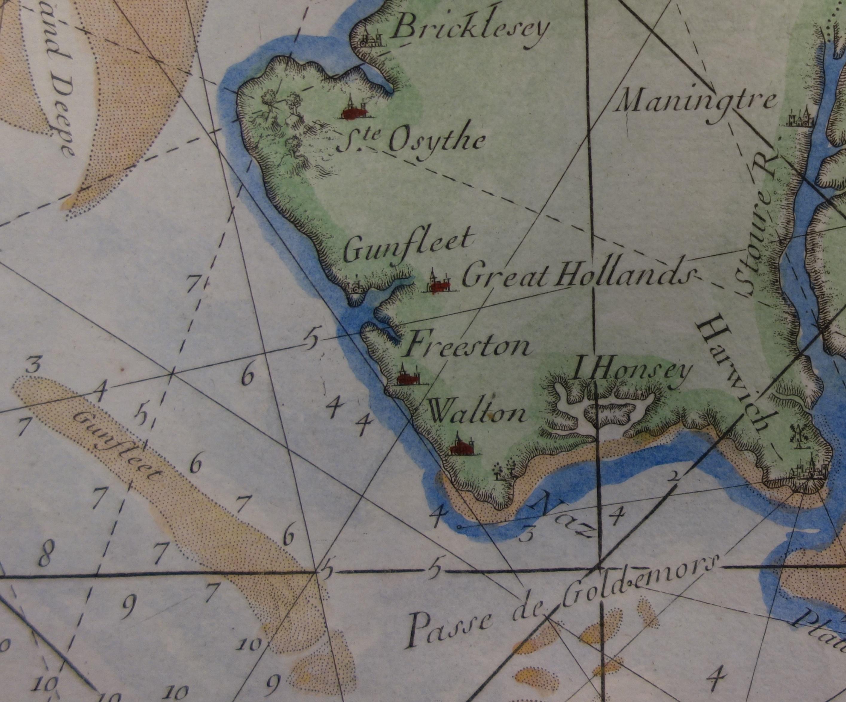
The Gunfleet Sands on a map of 1753
Period:
Hanoverian (1714-1837)Copyright:
Reproduced by courtesy Essex Record OfficeImage Caption:
An 18th century coastal chart for use by mariners, probably copied from earlier maps. It shows the Gunfleet Sands and estuary, and the depths of water (in fathoms).