Deverill valley road
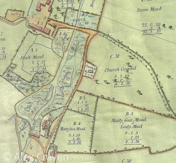
Detail from a map of Hill Deverill, 1813.
Until the 1850s, the road from Longbridge Deverill along the Deverill valley only went as far as the manor house of Hill Deverill. Beyond that, tracks ran south on either side of the river, and the river bed itself was also used at times. During the winter, when the river ran higher, the main route for heavy traffic was along a track that ran over Badbury Hill and on towards Warminster; it survives today as a bridleway. The modern road from Longbridge Deverill through Hill Deverill to Brixton Deverill was completed with public subscription in 1855.
Content derived from research undertaken as part of the Victoria County History project
