Rattle Row Dunster end
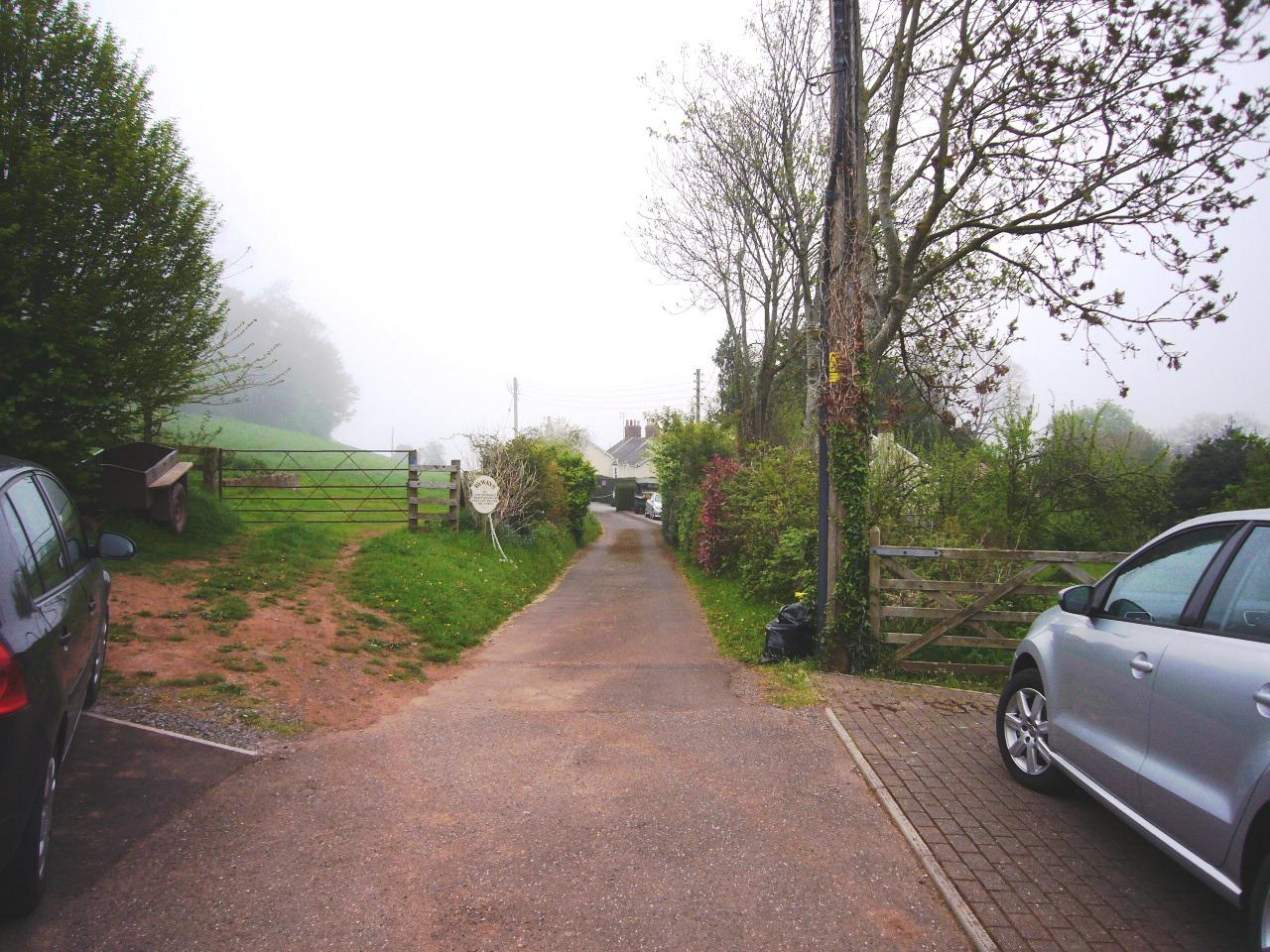
This was the Dunster end of Rattle Row also known as St Thomas Street and Rotten Row. It formed part of the ancient route from Exmoor along the Avill valley through Dunster’s West and High Streets to Marsh and probably linked the inland area with the port of Dunster in the early Middle Ages. The route was turnpiked in 1765 by the Minehead Trust to the Devon boundary beyond Dulverton. A new road, now Dunster Steep, was constructed north from High Street between Rattle Row and Brook or Loxhole Lane. Rattle Row was disturnpiked in 1822[1] and sold to John Fownes Luttrell in 1838.[2] It is now a private drive
[1] Bentley and Murless, Somerset Roads, I, 49. The new road had not been built when Greenwood made his map: J. B. Harley and R. W. Dunning, Somerset Maps (Som. Rec. Soc. 76), map 1822; SRO, C/S 2.
[2] SRO, Q/RDd 35; ibid. DD/L 1/29/24/29—30.