A mariner's view of Sunderland
A view of the coastline and town from the sea would have been the first sight of Sunderland for most visitors before 1800.
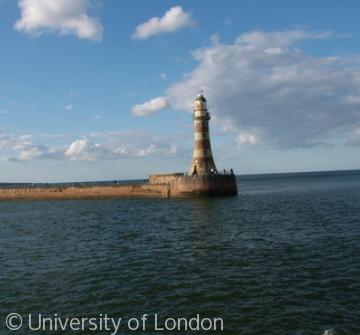
In modern times there are few chances to embark on a cruise calling into the Wear. We took the Balmoral from Hartlepool for a trip around the Farne islands, calling twice into Sunderland en route. These photographs, taken on 14 July 2007, show modern Sunderland, and some of its historic features, from an angle not often seen now.
The first coastal atlas of Britain, published in the 1680s, shows the Tunstall Hills (still marked on modern Ordnance Survey maps as Maiden Paps) as an important landmark for seamen. Compare with our modern photograph (see right) - the hills are less striking now with so many surrounding buildings, and maybe erosion accounts for the changes in topography. Or maybe the artist used a little licence to enhance the 17th-c maiden.
Content generated during research for two paperback books 'Sunderland and its Origins: Monks to Mariners' (ISBN 13 : 9781860774799) and 'Sunderland: Building a City' (ISBN 13 : 978-1-86077-547-5 ) for the England's Past for Everyone series


