Hawkridge's green lanes
Surveying a green lane to Tarr Steps
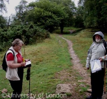
Before the arrival of the metalled road, moorland parishes like Hawkridge were criss-crossed by lanes. By the 19th-century the use of wheeled traffic and the need for expensive maintenance, usually borne by the parish, meant that few roads were chosen for retention. The rest lapsed into green trackways. The first large scale Ordnance Survey maps of the 1880s show many such trackways across Hawkridge. Some survive today as bridleways or footpaths. Others have disappeared completely from the map although they can often be traced on the ground. The Exmoor EPE project volunteers surveyed several of these green lanes.
A typical woodland track still used by walkers.
Content generated during research for the paperback book 'Exmoor: The making of an English Upland' (ISBN 13 : 978-1-86077-597-0 ) for the England's Past for Everyone series


