Dunster's streets
Dunster is a compact settlement west of the Avill and the Tor between Grabbist Hill to the south and Conygar Hill to the north and seems to have developed as an urban settlement without farmsteads. Dunster was not walled but had bars recorded from 1266 last recorded in 1502.
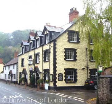
High Street has the appearance of a planned borough with a broad market and was possibly part of a medieval created landscape with an alignment chosen to give attractive views as well as enabling the castle to dominate the town and market below.
Several streets were densely packed with houses by the late Middle Ages although there were a few gardens recorded. Houses recorded in the early 18th century comprised three rooms below and three chambers above but none appears to have been single storey. Several, especially inns, had three storeys.
Content generated during research for Victoria County History Somerset Volume XII. More information is available on the VCH Somerset website

